Relief arrives with some rain
Cooler temperatures settle in
Key takeaways for the next few days:
- A cold front will continue to slide south
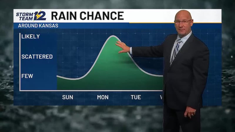
- Scattered storms fire up Wednesday afternoon/evening
- Much more seasonal weather arrives
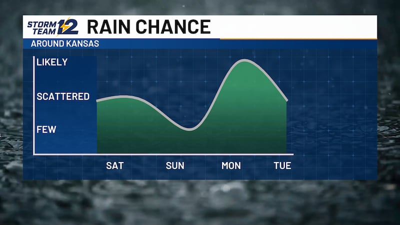
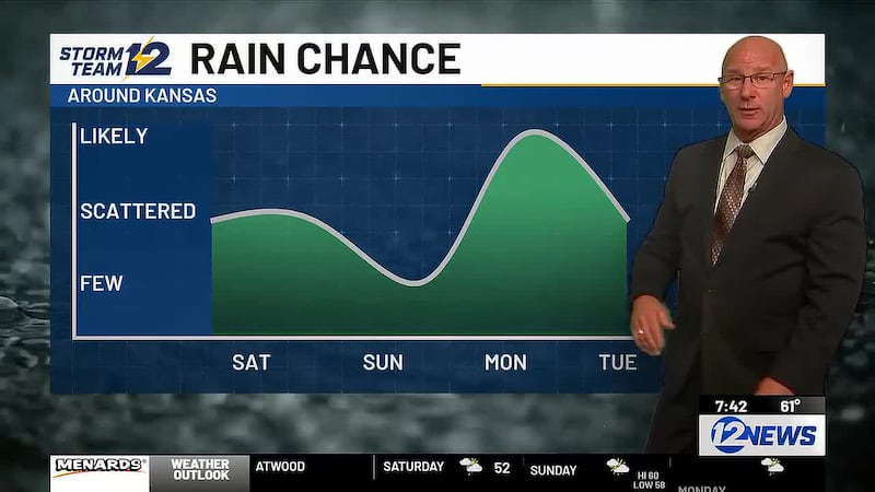
- More storms coming Friday night/Saturday
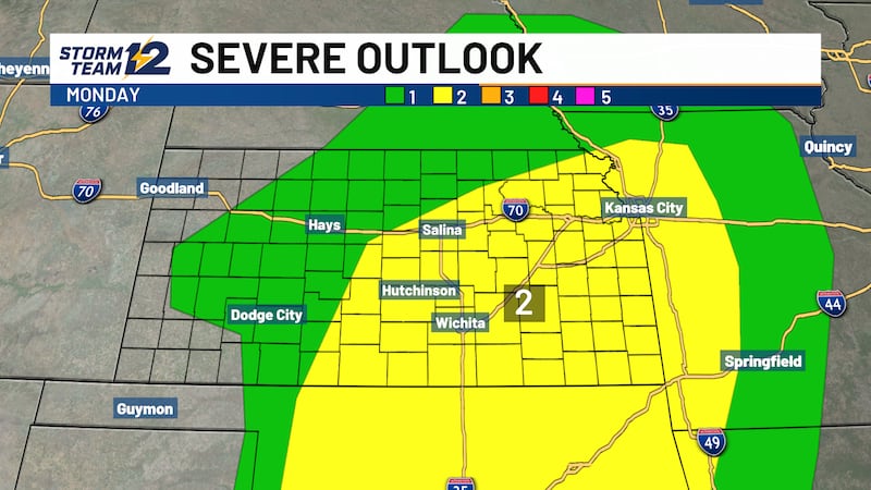
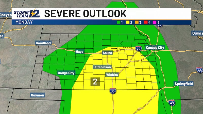
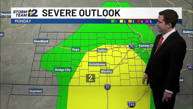
Wednesday - Scattered showers and storms return to central and southern Kansas with a slow moving cold front. Severe weather is unlikely, but some downpours are possible as high temperatures cool into the 80s.
Thursday - Early AM storms are possible over southern Kansas, but much of the afternoon will be dry with some sunshine and highs mainly in the upper 80s to near 90.
Friday night/early Saturday - Storms will start in Nebraska around dark and then start racing south and east. Areas along and east of a line from Hays to Great Bend to Pratt will have the best chances for rain, some of which could be heavy. Cooler temperatures will move back into Kansas with highs in the 80s.
Wichita Area Forecast:
Tonight: Clear to mostly clear. Wind: S 10-15. Low: 77.
Tomorrow: Afternoon and evening storms arrive. Wind: S/N 10-15. High: 97.
Tomorrow night: Mostly cloudy; scattered storms. Wind: NE/N 5-10. Low: 70.
Thu: High: 87 Early AM storms, then partly cloudy.
Fri: High: 92 Low: 70 Isolated AM storm, then partly cloudy.
Sat: High: 87 Low: 69 AM storms, then mostly cloudy.
Sun: High: 93 Low: 68 Decreasing clouds.
Mon: High: 92 Low: 71 Partly cloudy; evening storms. Breezy.
Tue: High: 84 Low: 66 Decreasing clouds.
Copyright 2026 KWCH. All rights reserved. To report a correction or typo, please email news@kwch.com