A warm start to the fair
Stronger winds return by Sunday
Key takeaways for the next few days:
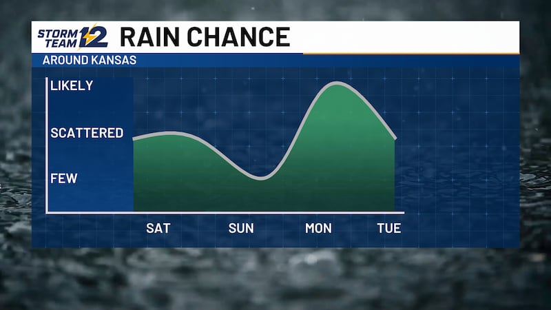
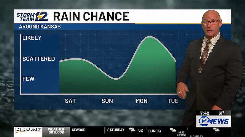
- A few weekend storms are expected
- Chances will be around Saturday night/early Sunday
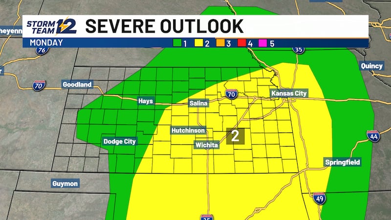
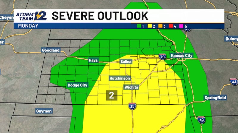
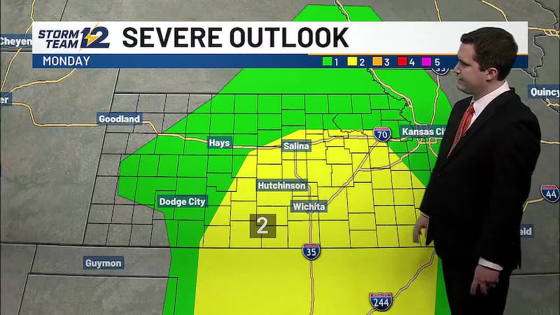
- Stronger winds shaping up Sunday/Monday
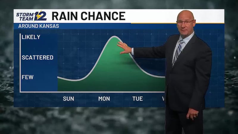
- Several days of storms possible next week
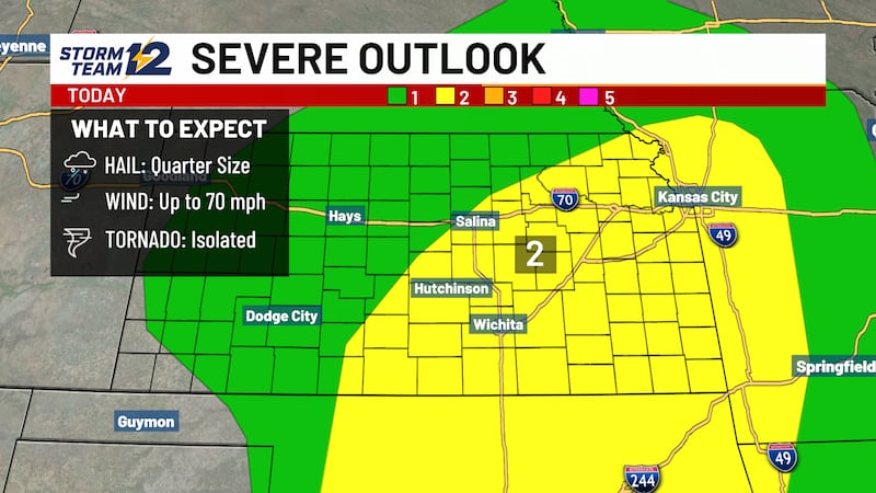
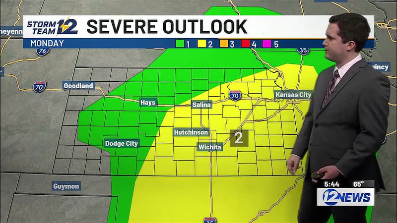
Weekend - A few showers and storms will be possible along and east of I-135 early Saturday, but the better potential may come overnight and into Sunday morning for central and eastern Kansas. Expect high temperatures to increase during the weekend, with some areas getting back into the 90s soon.
Next week - A front will be stalling across Kansas Monday night through Wednesday. That will provide the focus for scattered storms, starting Monday night in northwest Kansas and then spreading south into Tuesday and Wednesday. It will be MUCH cooler across western Kansas with highs in the 60s and 70s, but on the warm side of the front, highs will still be reaching the lower 90s.
Wichita Area Forecast:
Tonight: A few clouds. Wind: SE 5-15. Low: 69.
Tomorrow: An early morning storm, then partly cloudy. Wind: E/SE 5-15. High: 93.
Tomorrow night: Scattered storms late. Wind: SE 5-15. Low: 70.
Sun: High: 95 Decreasing clouds. Breezy.
Mon: High: 96 Low: 72 Mostly sunny; breezy.
Tue: High: 95 Low: 73 Increasing clouds; scattered evening/night storms.
Wed: High: 93 Low: 69 Partly cloudy.
Thu: High: 87 Low: 68 Decreasing clouds.
Fri: High: 86 Low: 69 Mostly sunny.
Copyright 2026 KWCH. All rights reserved. To report a correction or typo, please email news@kwch.com