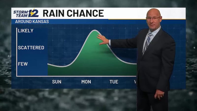
Scattered storms; much cooler for most
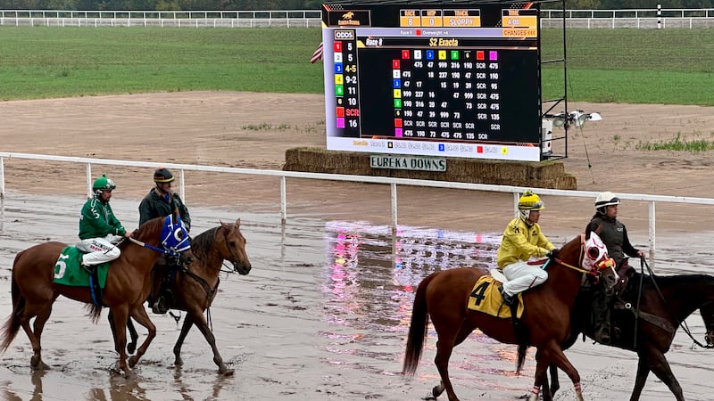
Storms could impact the state fair
Key takeaways for the next few days:
- A front will bring more storms on Tuesday
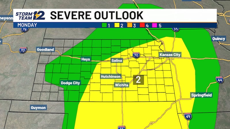
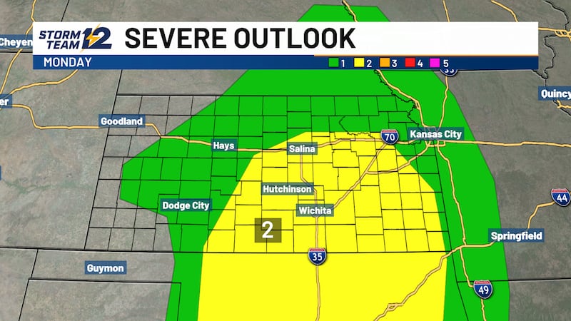
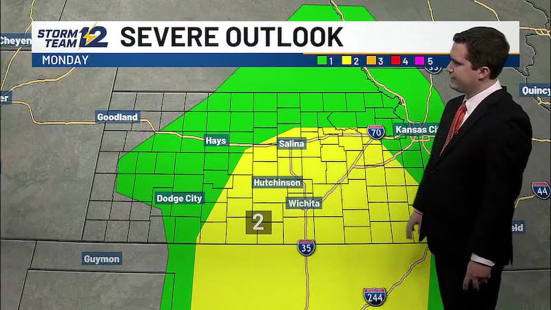
- Severe weather chances remain very low
- Much cooler air will be short lived this week
- Bigger changes arrive in less than a week
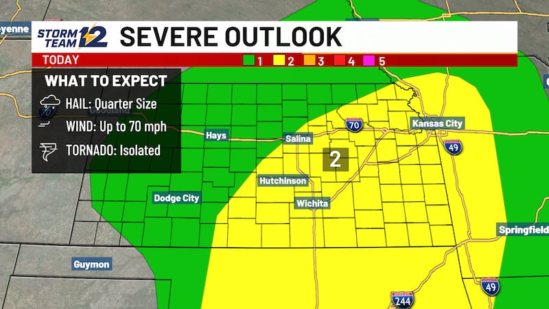
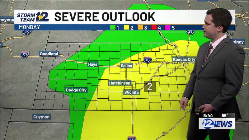
Overnight - A few scattered storms are possible along an advancing cold front, but the risk of severe weather remains quite low. Temperatures will be cooling down rather significantly as the front slides south and east.
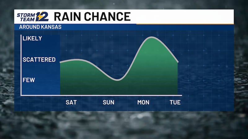
Tuesday - Scattered showers and a few storms may be ongoing early Tuesday, but the better chance of active weather may come after 4pm across areas east of a line from Dodge City to Salina. Small hail and gusty winds will be a threat. Expect highs to return to the 60s and 70s in central and western Kansas.
Mid-late week- Much warmer air moves back across Kansas with highs rebounding to the 90s.
Wichita Area Forecast:
Tonight: Mostly clear. Wind: S 10-20. Low: 76.
Tomorrow: Scattered storms after 4pm. Wind: S/E 10-15. High: 95.
Tomorrow night: Scattered storms early. Wind: E/SE 5-15. Low: 69.
Wed: High: 96 Decreasing clouds.
Thu: High: 94 Low: 72 Mostly sunny to partly cloudy.
Fri: High: 95 Low: 74 Becoming partly cloudy; breezy.
Sat: High: 92 Low: 72 Increasing clouds; late day storms.
Sun: High: 80 Low: 67 AM storms, then mostly cloudy.
Mon: High: 77 Low: 63 Partly cloudy.
Copyright 2026 KWCH. All rights reserved. To report a correction or typo, please email news@kwch.com