Warmer air returning; storms end midweek
Temperatures will climb once again
Key takeaways for the next few days:
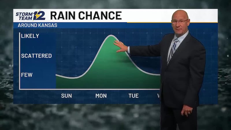
- Scattered storms will end after Wednesday morning
- More late summer heat building back in
- Gusty winds kick in Friday/Saturday
- Changes arrive this weekend
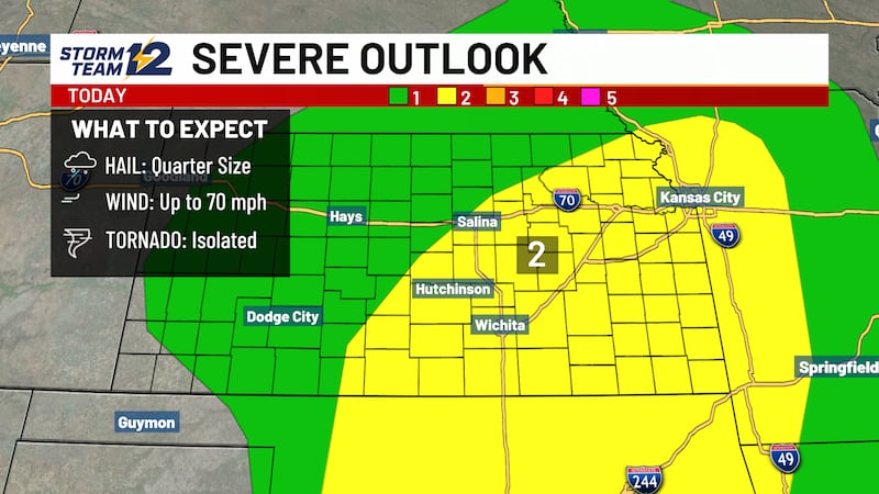
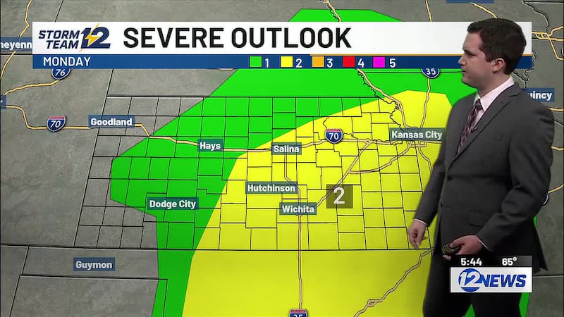
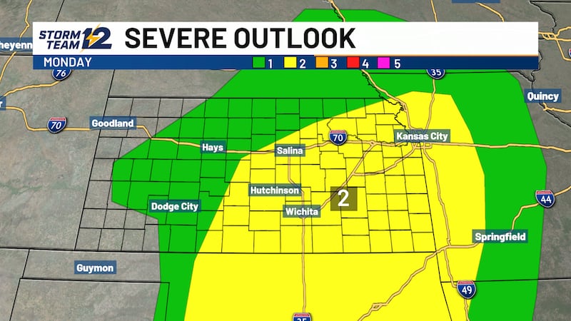
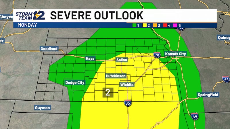
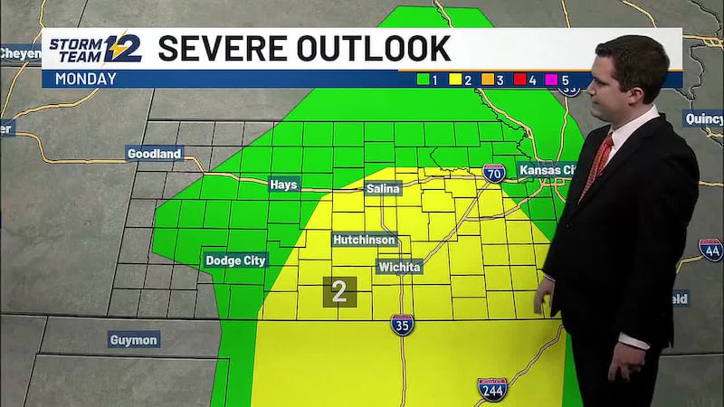
Overnight - Scattered storms will remain possible over most of Kansas, but it is less likely in northwest Kansas. Severe weather is unlikely with most storms that develop.
Wednesday - Morning showers and storms in central Kansas will end with decreasing clouds by afternoon. Highs will be a mix of 80s (north) and low to mid 90s farther south.
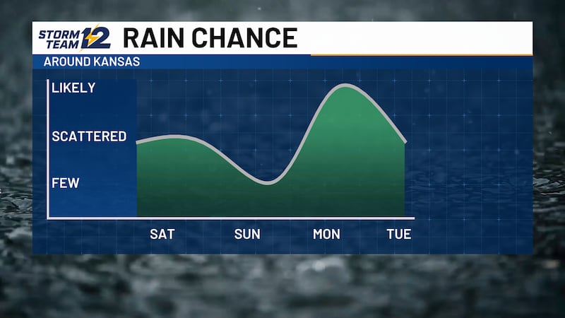
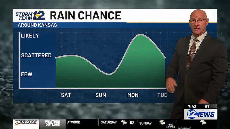
Late week- Stronger south winds kick in with highs mainly in the 90s. It will stay hot Thursday and Friday, but a weekend cold front is on the way, which should bring the scattered storm chances back to the area.
Wichita Area Forecast:
Tonight: Scattered storms ending late. Wind: E/NE 10-15. Low: 69.
Tomorrow: Decreasing clouds. Wind: E/SE 5-15. High: 94.
Tomorrow night: Mostly clear. Wind: SE/S 5-15. Low: 72.
Thu: High: 97 A few afternoon clouds.
Fri: High: 97 Low: 73 Mostly sunny; breezy.
Sat: High: 95 Low: 74 Partly cloudy; evening and overnight storms. Breezy.
Sun: High: 82 Low: 70 Scattered storms.
Mon: High: 79 Low: 61 Partly cloudy.
Tue: High: 80 Low: 64 Mostly sunny.
Copyright 2026 KWCH. All rights reserved. To report a correction or typo, please email news@kwch.com