A weekend cold front still on track
Rain and much cooler air will soon arrive
Key takeaways for the next few days:
- Gusty winds & hot weather to wrap up the week
- Cold front moves in Saturday
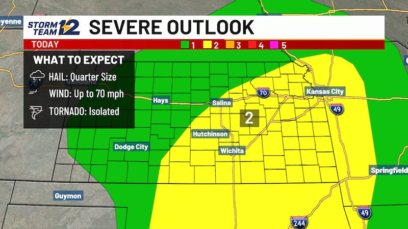
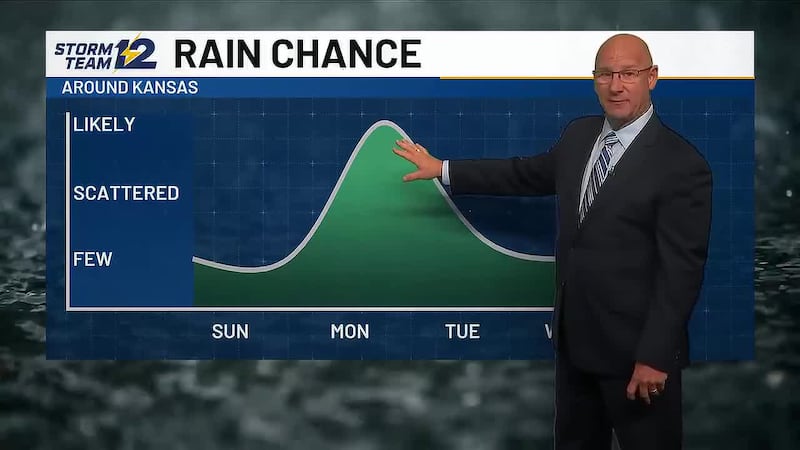
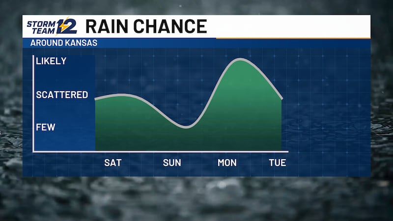
- Scattered storms are favored across much of the state
- Fall-like weather settles in
Friday - Much stronger south winds are expected for Kansas with highs remaining in the mid to upper 90s. A few showers and storms will target northwest Kansas late in the evening, but they’ll be very spotty and non severe.
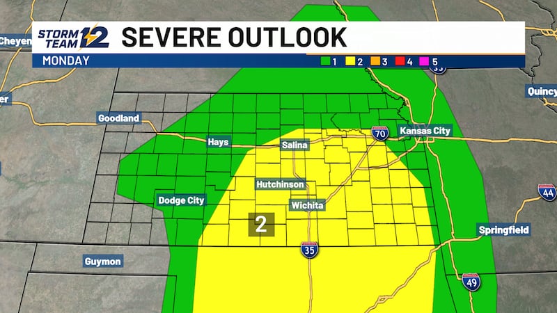
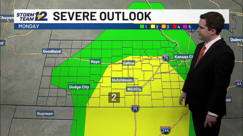
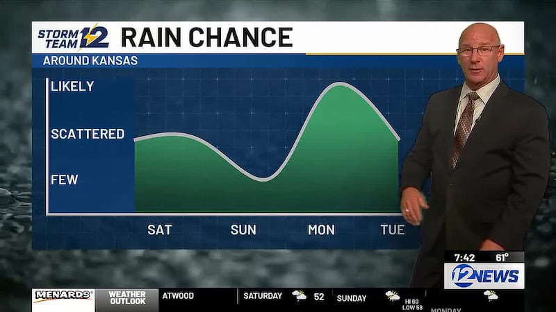
Saturday - Cold front will bring scattered storms after 4pm to central and northern Kansas. Once they fire up, they’ll have a track to the east and southeast, potentially impacting the Kansas State Fairgrounds. Expect highs to return to the 70s in northwest Kansas with some rain into the evening, but ahead of the front it will be more 90s.
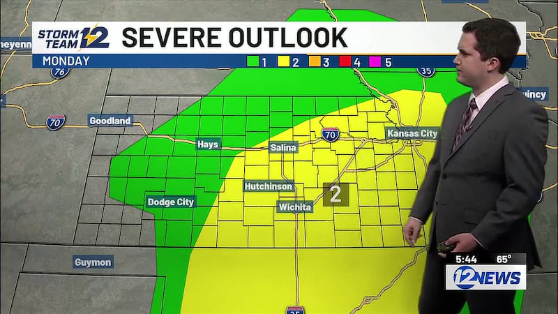
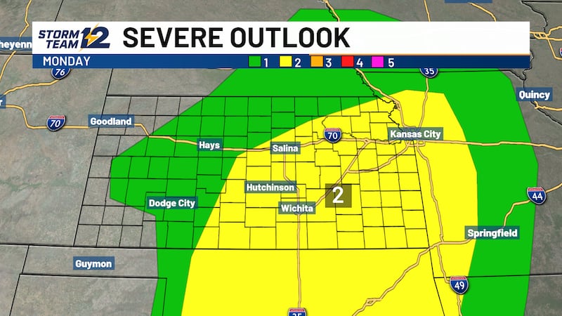
Sunday - Scattered storms are possible for mainly south central Kansas as much cooler air settles in statewide.
Wichita Area Forecast:
Tonight: Clear. Wind: SE/S 5-15. Low: 73.
Tomorrow: Mostly sunny and breezy. Wind: S 15-25; gusty. High: 98.
Tomorrow night: Mostly clear. Wind: S 10-15. Low: 74.
Sat: High: 98 Becoming partly cloudy; evening & nighttime storms.
Sun: High: 82 Low: 70 Mostly cloudy; scattered PM storms.
Mon: High: 78 Low: 63 Partly cloudy.
Tue: High: 75 Low: 59 Partly cloudy.
Wed: High: 80 Low: 59 Becoming partly cloudy; overnight storms.
Thu: High: 78 Low: 63 AM storms then partly cloudy.
Copyright 2026 KWCH. All rights reserved. To report a correction or typo, please email news@kwch.com