Friday fog & increasing rain chance
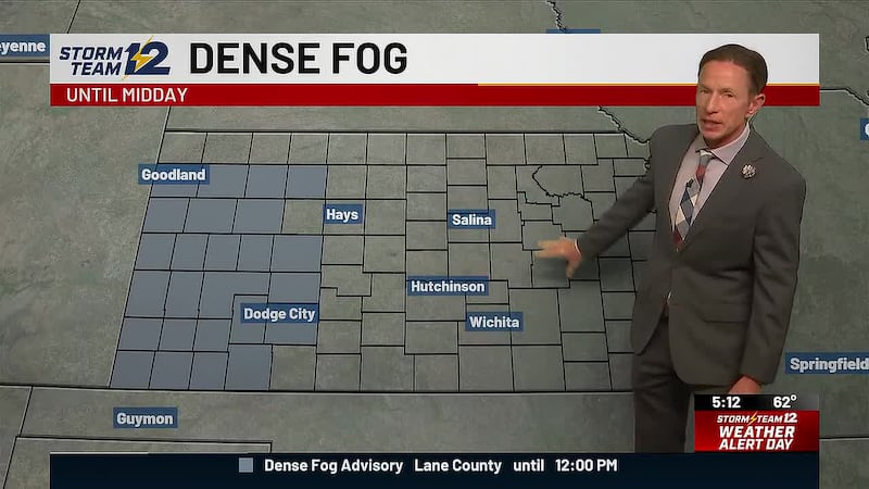
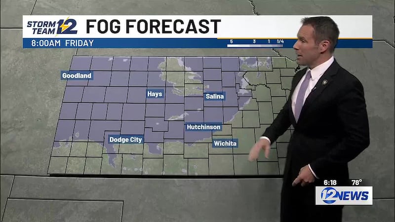
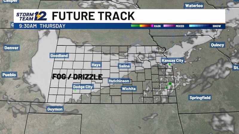
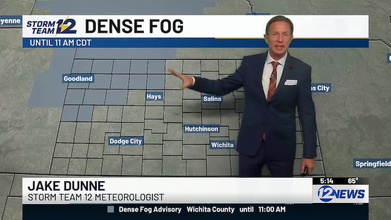
Poor visibility across central/western Kansas
Key takeaways for the next few days:
- Widespread fog Friday morning for central/western Kansas
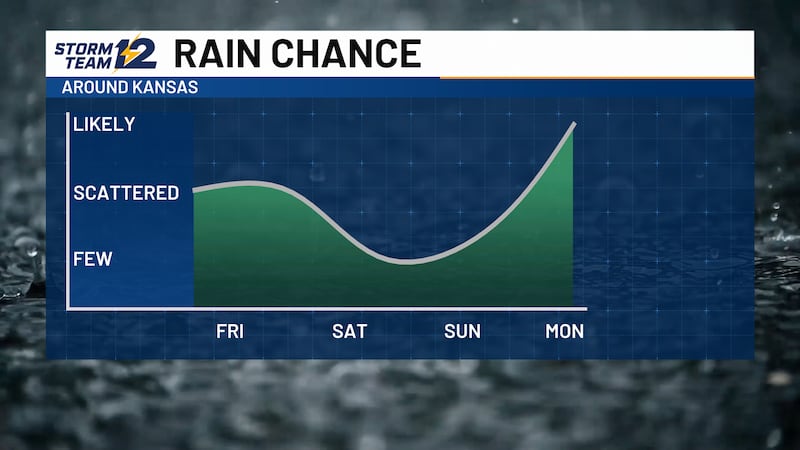
- Rain potential increases for the afternoon and evening
- Dry but cloudy weather for Halloween
- Another big system coming early next week
Overnight - Visibility will drop below 1 mile across central and western Kansas. Heads up if you have travel on I70.
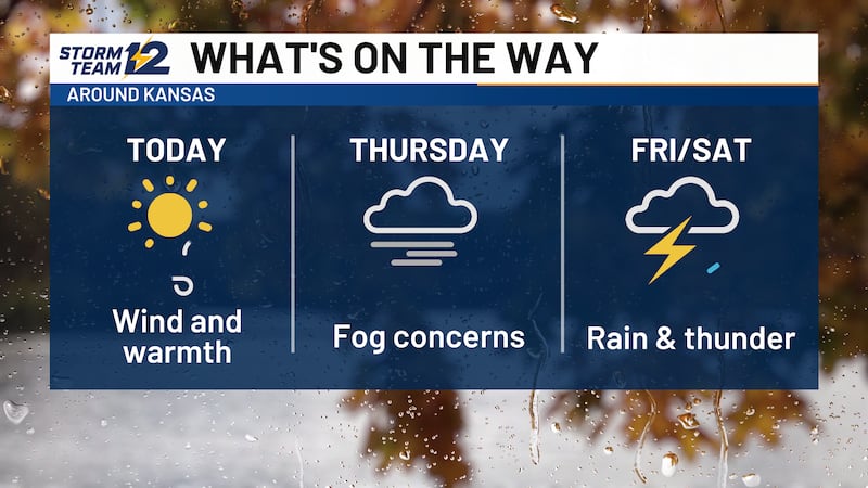
Friday - Increasing chances for rain heading into the afternoon and evening. Some thunder is possible, but this is mostly going to be scattered showers with temperatures in the 60s and 70s.
Halloween - Plenty of clouds and some early morning drizzle, but the afternoon and evening look dry. Highs will mainly be in the 60s with light winds.
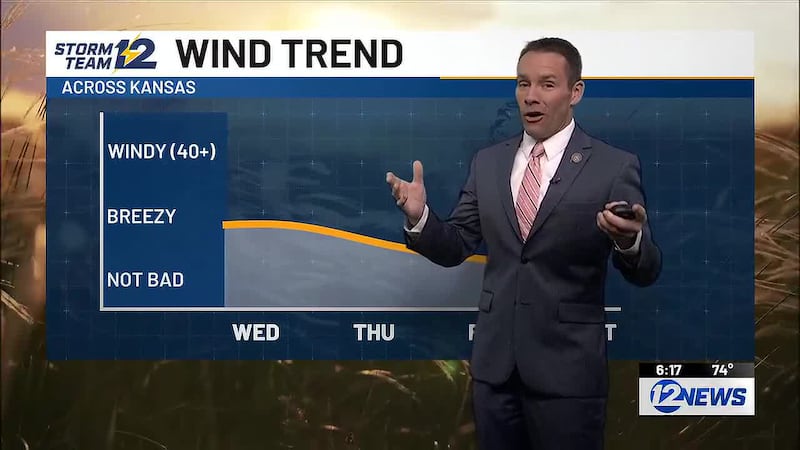
Sun/Mon - Another large system coming in from the West will ramp up showers and storms for the area, starting Sunday night in western Kansas. The chance for rain will spread east on Monday. It’s also going to be turning windy with some gusts above 45 and 50 mph possible into Election Day.
Wichita Area Forecast:
Tonight: A stray storm, then mostly cloudy. Wind: SE/S 5-10. Low: 60.
Tomorrow: Turning cloudy; afternoon rain. Wind: S 5-15. High: 72.
Tomorrow Night: Cloudy; few showers. Wind: S/SE 5-10. Low: 56.
Sat: High: 67 Mainly cloudy.
Sun: High: 72 Low: 55 Mostly cloudy.
Mon: High: 74 Low: 60 Scattered storms; windy.
Tue: High: 63 Low: 54 AM showers, then mostly cloudy; windy.
Wed: High: 64 Low: 45 Mostly sunny; breezy.
Thu: High: 62 Low: 37 Mostly sunny.
Copyright 2026 KWCH. All rights reserved. To report a correction or typo, please email news@kwch.com