Storm chance returns Wednesday
A few storms with isolated severe weather possible
WICHITA, Kan. (KWCH) - Meteorologist Peyton Sanders says that storm chances will return to Kansas over the next few days.
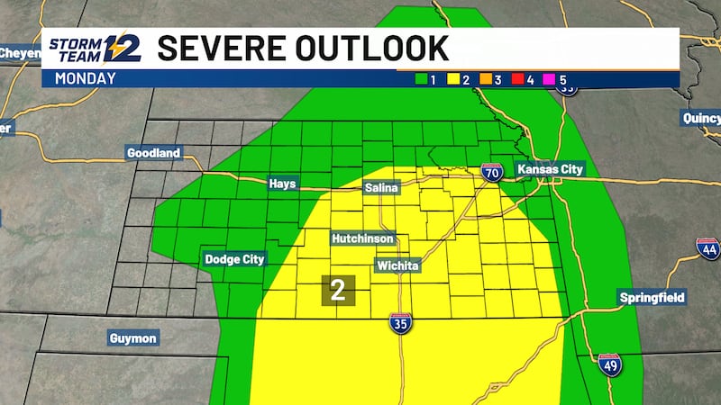
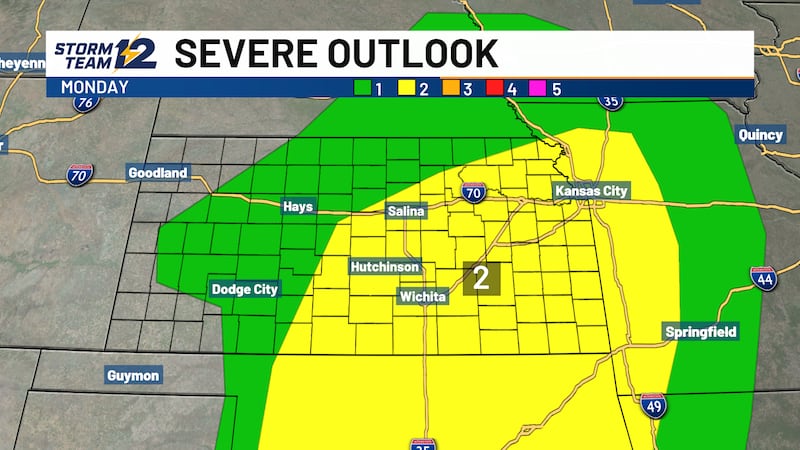
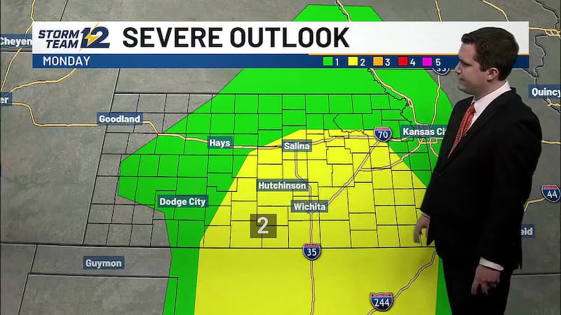
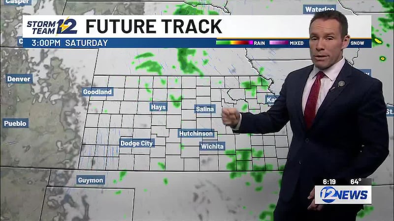
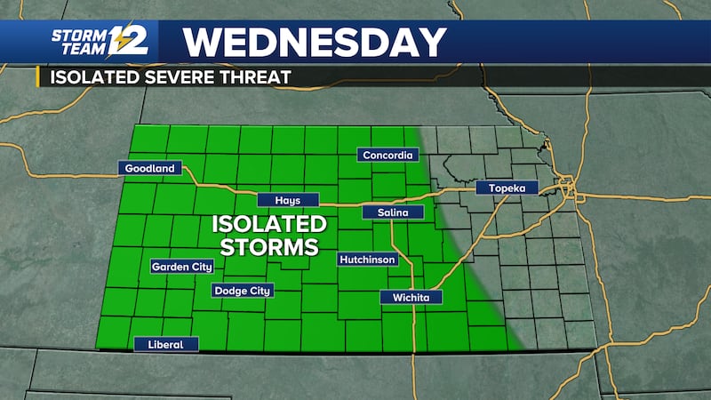
Scattered storms will begin to develop over portions of northern Kansas tonight. Activity will continue into the morning on Wednesday with storms moving into portions of south central Kansas during the morning and early afternoon. A few of the stronger storms could produce strong wind gusts.
It will be a mild start to the day Wednesday with morning low temperatures in the mid 60s to near 70. Afternoon highs will reach the upper 80s to near 90.
Isolated storms may develop over western Kansas during the evening. If any storms manage to develop, they could be severe with a threat of large hail and damaging wind gusts. Clusters of storms will eventually move out of eastern Colorado into western Kansas late in the night with a potential for strong winds.
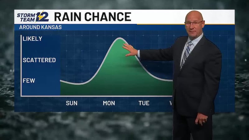
Storm chances will continue mainly over portions of western and northern Kansas Thursday and Friday. Storms could be strong or severe each day, but the details on timing and which places have the highest chance of severe weather remain uncertain.
The chance of storms will end by this weekend as temperatures get hotter with highs in the 90s for Saturday and Sunday.
WICHITA AREA FORECAST
Tonight: Partly cloudy. Wind: SE/E 5-15. Low: 70
Tomorrow: Scattered storms possible during the morning and afternoon. Wind: E 5-15. High: 88
Tomorrow Night: Partly cloudy. Wind: E 5-10. Low: 68
Thu: High: 89 Partly cloudy.
Fri: High: 89 Low: 68 Partly cloudy.
Sat: High: 96 Low: 71 Partly cloudy.
Sun: High: 95 Low: 72 Mostly sunny.
Mon: High: 92 Low: 68 Sunny.
Tue: High: 94 Low: 67 Sunny.
Copyright 2023 KWCH. All rights reserved.