Wet start to the day in Wichita
Few more storms expected tonight
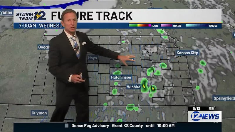
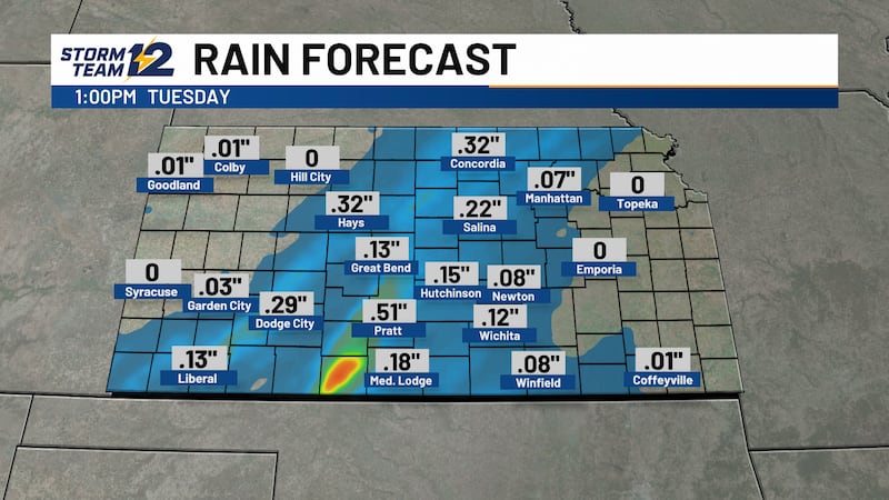
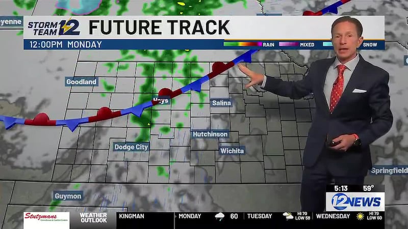
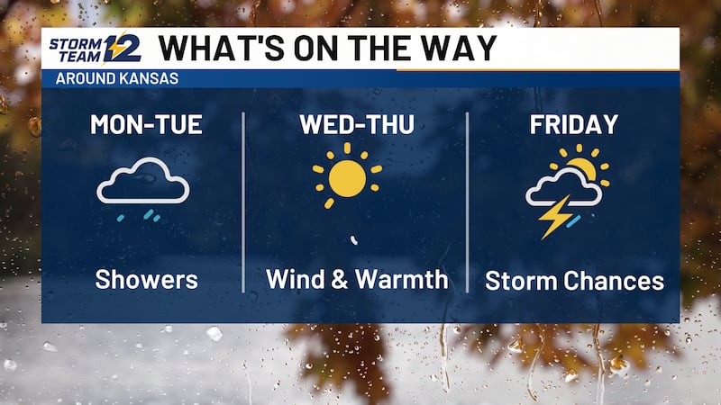
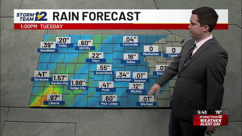
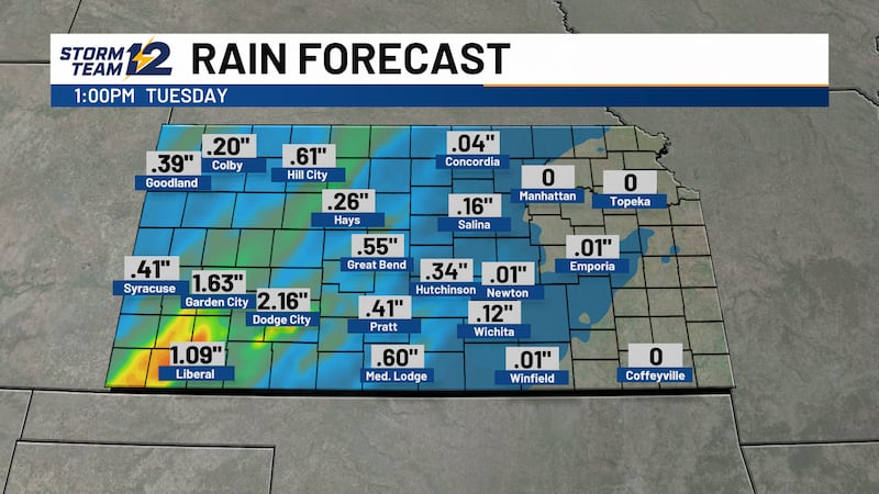
WICHITA, Kan. (KWCH) - It is a wet start to the day in the Wichita area and showers are a safe bet this morning. Most of south-central Kansas will be dry by midday and clearing skies this afternoon will allow temperatures to climb into the upper 60s and lower 70s. An isolated shower or storm cannot be ruled out tonight into early Wednesday morning, but most areas will stay dry.
Sunshine and stronger winds from the south will push afternoon temperatures in the upper 70s and lower 80s – 10 to 20 degrees above average – on Wednesday and Thursday. Wind gusts near 40 mph on Wednesday should relax some on Thursday.
Our next weather maker arrives on Friday afternoon with scattered showers and a few storms. While the exact timing remains a little uncertain, it looks like all of Kansas will be dry by Saturday afternoon and evening with temperatures in the upper 60s at 5 pm falling into the upper 50s by 8-9 pm.
Looking ahead… after a dry Sunday, another (possibly more potent) storm system will move across Kansas Sunday night and Monday. While we will need more time to know exactly how this system will play out, stronger (severe?) storms are possible.
WICHITA AREA FORECAST:
Today: Morning showers, then mostly cloudy. Wind: S 5-15. High: 72
Tonight: Partly cloudy; isolated storm late. Wind: S 10-15. Low: 60
Tomorrow: Isolated storm early; mostly sunny and breezy. Wind: S 15-25; gusty. High: 79
Thu: Low: 60. High: 80. Partly cloudy.
Fri: Low: 58. High: 70. Cloudy; afternoon showers and storms likely.
Sat: Low: 55. High: 67. Morning showers, then mostly cloudy.
Sun: Low: 50. High: 70. Mostly cloudy; chance of overnight storms.
Mon: Low: 58. High: 67. Cloudy, breezy; scattered showers and storms.
Copyright 2026 KWCH. All rights reserved. To report a correction or typo, please email news@kwch.com