Quiet Friday, severe storms return Saturday
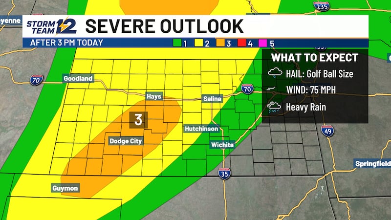
Severe storm risk over central and eastern KS
WICHITA, Kan. (KWCH) - Friday will be a quiet day with lighter winds and warm temperatures, then storms will return on Saturday with a risk of severe weather.
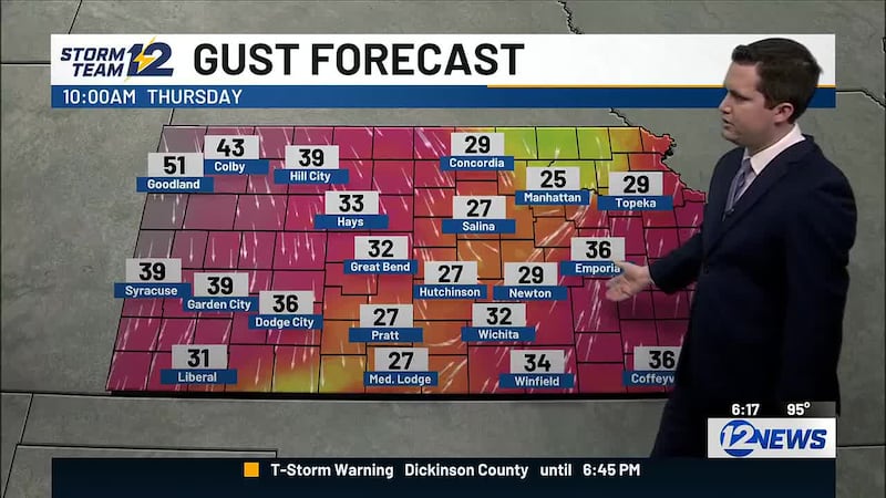
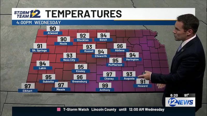
High pressure will move over Kansas tonight, which will lead to lighter winds tonight and Friday. Friday’s high temperatures will be warm in the mid to upper 80s with plenty of sunshine.
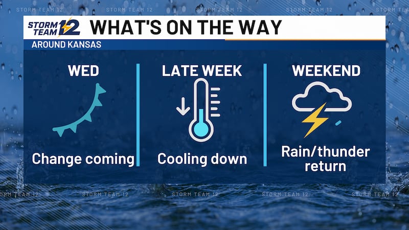
Our next cold front will move in on Saturday, bringing thunderstorms and a big drop in temperatures this weekend.
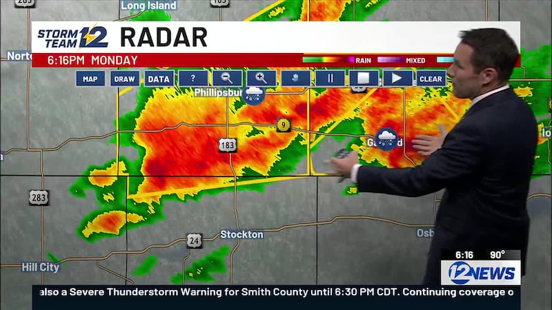
Scattered storms will develop along the front Saturday afternoon and evening across central and eastern Kansas. Storms could be severe with threats of large hail and damaging winds.
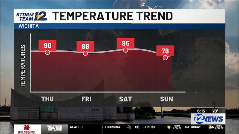
Storms will exit Kansas into Oklahoma by Saturday night. Sunday now looks dry behind the front. After highs in the 90s on Saturday, highs will only reach the low to mid 70s on Sunday.
Cooler weather will continue for the start of next week with highs remaining in the 70s on Monday. Warmer weather will quickly return later next week as highs return to the 90s.
WICHITA AREA FORECAST
Tonight: Mostly clear. Wind: N/E 5-10. Low: 61
Tomorrow: Mostly sunny. Wind: E/SE 5-15. High: 87
Tomorrow Night: Partly cloudy. Wind: SE/S 5-15. Low: 71
Sat: High: 95 Partly cloudy and breezy; PM storms likely.
Sun: High: 77 Low: 63 Partly cloudy.
Mon: High: 79 Low: 58 Partly cloudy.
Tue: High: 86 Low: 59 Partly cloudy.
Wed: High: 94 Low: 66 Partly cloudy and breezy.
Thu: High: 93 Low: 73 Mostly sunny.
Copyright 2026 KWCH. All rights reserved.