Warm start to the work week
Incoming cold front later this week
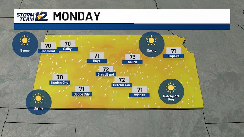
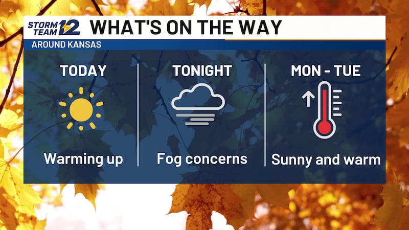
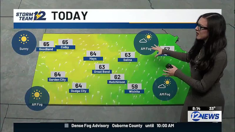
WICHITA, Kan. (KWCH) - Beware the fog this morning. Overall, it is not a major concern, but areas of low visibility and slow travel are possible during the morning commute, mainly along and east of I-135.
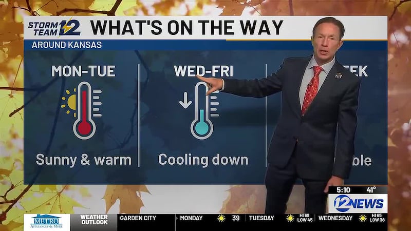
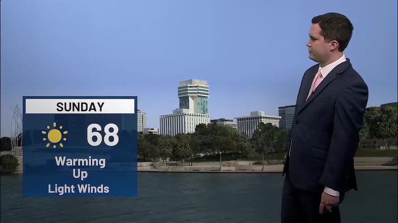
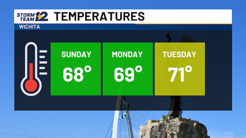
Get ready for a warm start to the work week as skies remain sunny today and Tuesday. High temperatures in the lower 70s both days are 10 to 15 degrees above average for early November.
A cold front arriving on Veteran’s Day will send our temperatures down 10 to 15 degrees on Thursday and Friday. While gusty winds are likely on Wednesday, no precipitation is expected across the state.
Looking ahead… as high pressure comes back to Kansas next weekend, temperatures will trend warmer. Expect above average highs in the middle to upper 60s on Saturday and Sunday along with mainly sunny skies.
WICHITA AREA FORECAST:
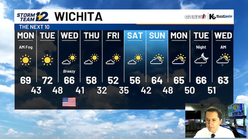
Today: Patchy morning fog, then sunny and warm. Wind: SW/S 5-15. High: 70
Tonight: Clear and cool. Wind: SW 5-10. Low: 44
Tomorrow: Sunny and warm. Wind: S 5-15. High: 72
Wed: Low: 48. High: 66. Mostly sunny. Breezy.
Thu: Low: 42. High: 57. Mostly sunny and cooler.
Fri: Low: 33. High: 55. Sunny.
Sat: Low: 35. High: 60. Mostly sunny. Breezy.
Sun: Low: 39. High: 64. Partly cloudy.
Copyright 2026 KWCH. All rights reserved. To report a correction or typo, please email news@kwch.com